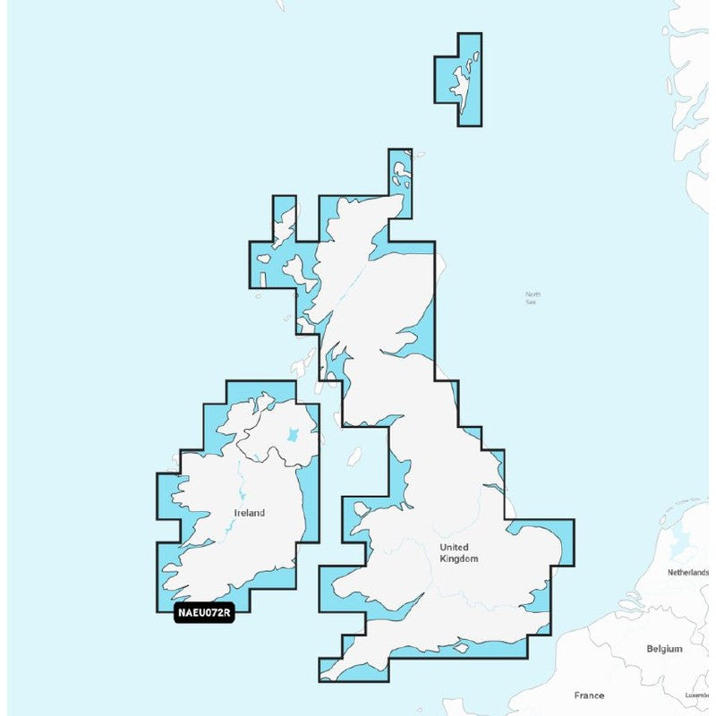
Navionics Plus Pre-Loaded Regular Chart UK, Ireland Lakes and Rivers EU072R
Navionics Plus Pre ~loaded Nautical Charts
Features:
Ready to use straight out of the box
Register within two months and receive free Freshest Data updates for one year
Format: SD / Micro SD
Detailed coverage of major lakes and rivers of the UK and Ireland. Coverage includes the Thames,
Medway, Mersey, Avon and Tweed Rivers in the UK and the Shannon River in Ireland. Lake coverage
includes Lock Ness, Loch Lochy and Lough Neagh in the UK
Navionics+
Coastal Content ~ Yes
Inland Content 42,000+ lakes
Detailed Nautical Charts ~ Yes
Daily Updates ~ Yes
Dock ~to ~dock Route Guidance ~ Yes
Plotter Sync ~ Yes
Community Edits ~ Yes
Advanced Map Options ~ Yes
SonarChartTM Live Mapping ~ Yes
Relief Shading ~ No
Satellite Imagery with SonarChartTM Shading Overlay ~ No
Aerial Photography ~ No
3D View ~ No
Navionics Plus Pre-Loaded Regular Chart UK, Ireland Lakes and Rivers EU072R
Our price£134.99
RRP£149.99