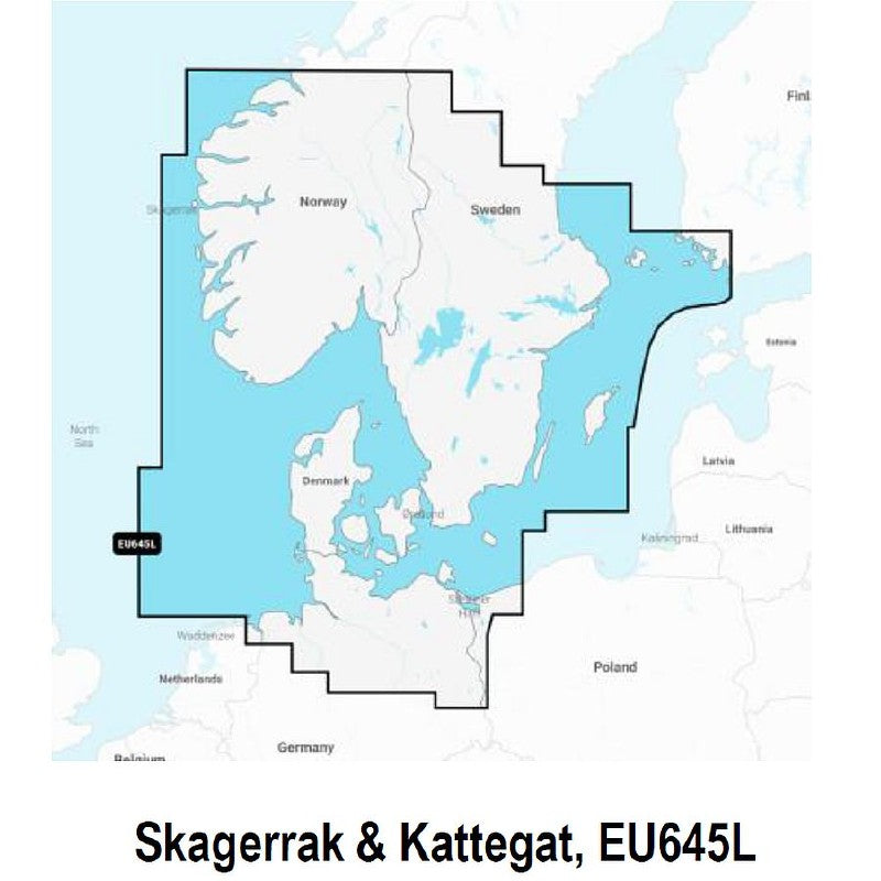
Navionics Platinum Plus Pre-Loaded Large Chart Skagerrak and Kattegat EU645L
The multi ~dimensional marine charts take the navigational experience to a
whole new level with 3D view, integrated aerial imagery layer, and port photos.
Enjoy perspective well beyond that available from traditional charts, while
viewing harbours, marina entrances, and surrounding topography. Consult
geo ~referenced Coast Pilot as well as coastal points of interest conveniently
while underway.
Platinum Plus charts are eligible for Freshest Data and Community Layer.
Freshest Data and Community Layer
Format: SD / Micro SD
Navionics Platinum Plus Pre-Loaded Large Chart Skagerrak and Kattegat EU645L
Our price£287.99
RRP£319.99